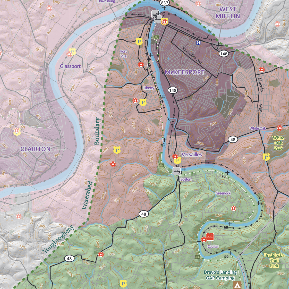
The Youghiogheny River Water Trail was developed by the Pennsylvania Environmental Council, Pennsylvania Fish & Boat Commission and Department of Conservation & Natural Resources. The Mountain Watershed Association, as home of the Youghiogheny Riverkeeper, manages the water trail. The 75 mile trail is divided into four sections; sections A and B on the South Map and sections C and D on the North Map.
This trail initiative provides maps and guides for the portion of the river downstream of Confluence to help enhance paddling trips on the river. As manager, MWA’s goals include patrolling the river, expansion of public access and the development of overnight paddling trip opportunities.
SOUTH MAPS
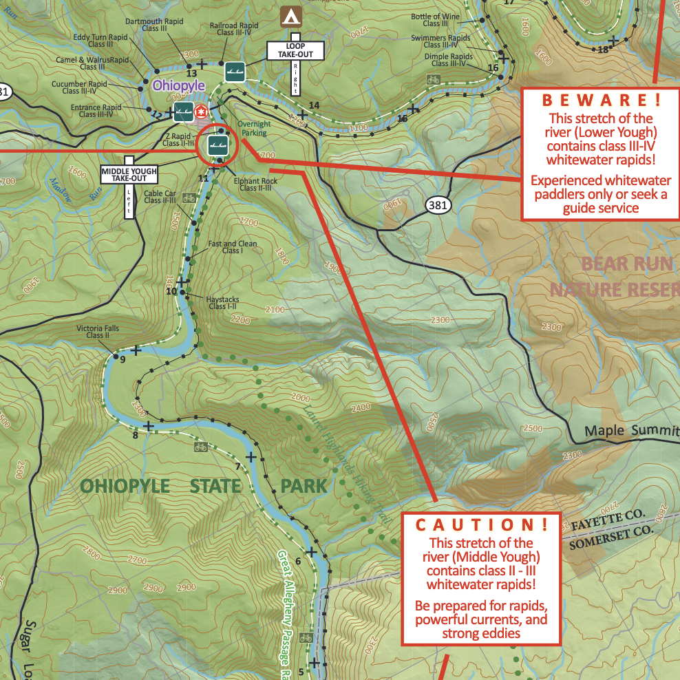
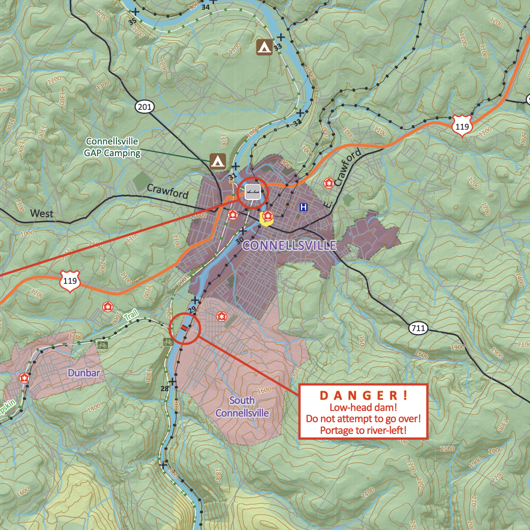
Section A shows river miles 0-20, from the Yough Dam in Confluence to just past the whitewater section of the Lower Yough at Brunner Run. Section B shows river miles 11-36, from Ohiopyle through the City of Connellsville and into Dawson.
NORTH MAPS
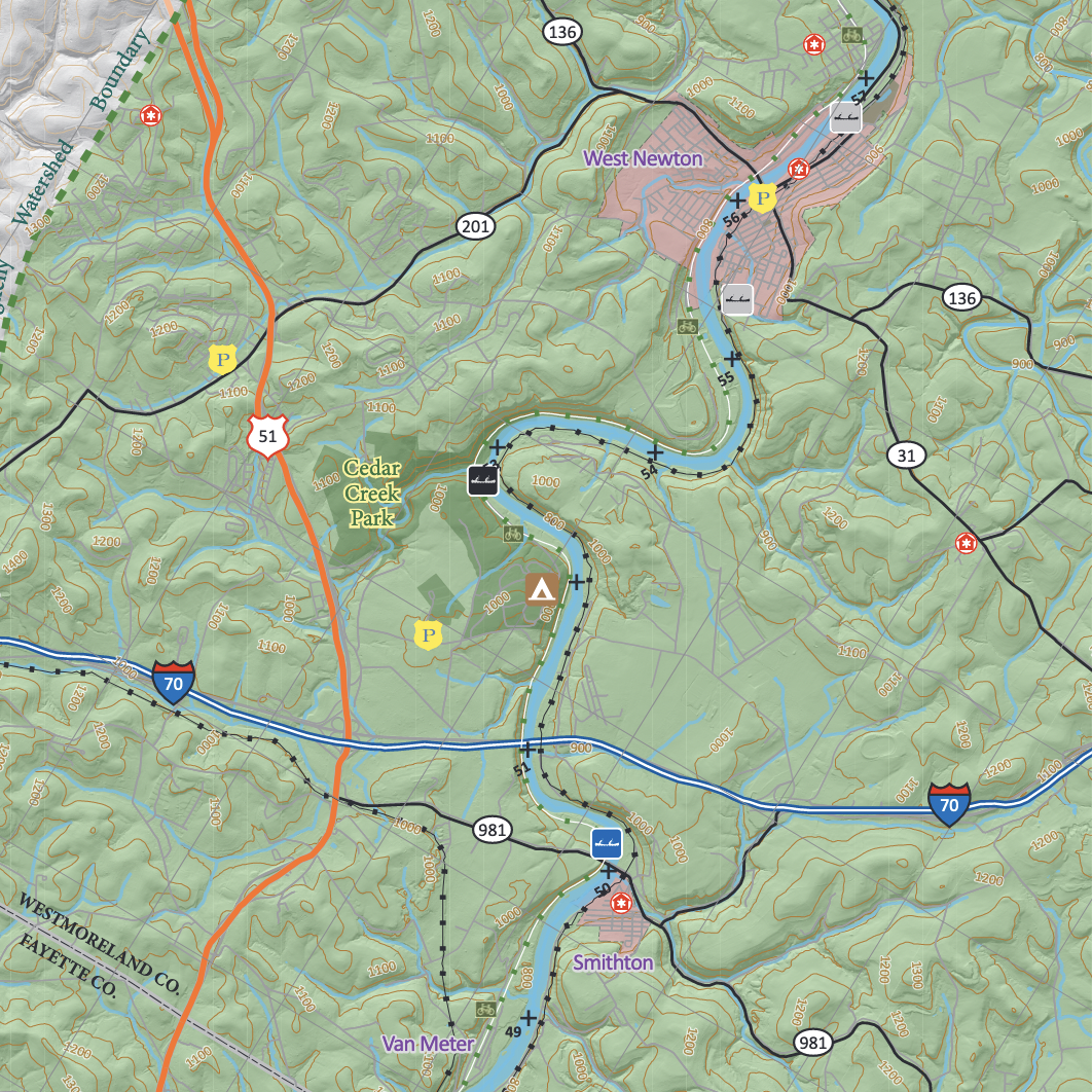
Section C shows river miles 33-37, from Dawson to West Newton. Section D shows river miles 50-76, from Cedar Creek Park to McKeesport.
ABOUT THE WATER TRAIL
A recent economic impact analysis found that when asked about concerns when visiting water trails, 40% of visitors most frequently mentioned water quality as their main interest or concern. The Yough is a major recreational attraction.
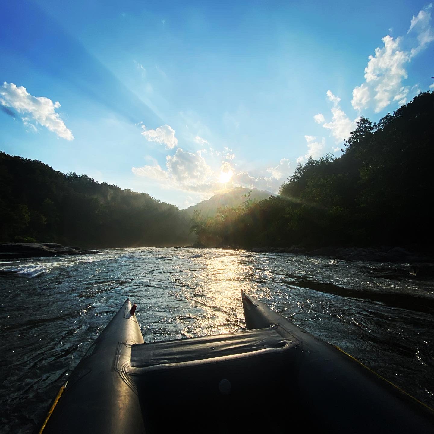
Much of it is a whitewater river, with several distinct sections featuring rapids ranging from class I through class V. Kayaking, swimming, rafting and fishing are very common, and the Yough draws visitors from around the east coast and the world. The Yough watershed provides habitat for several state and federally threatened and endangered species, and many of our streams feature naturally reproducing populations of brook trout, which are increasingly uncommon.
We believe increased access to the river will encourage increased river stewardship.
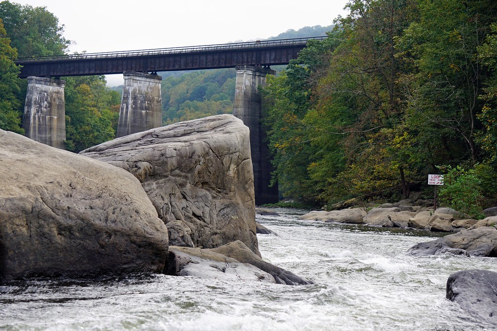
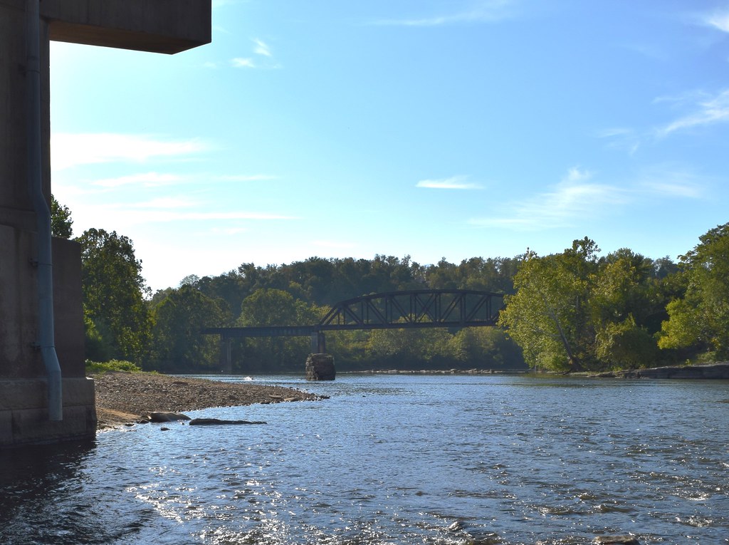
The Youghiogheny River (Yough for short) rises in northern West Virginia before flowing northward 132 miles through Maryland and into Pennsylvania, reaching the Monongahela River just upstream of Pittsburgh, Pennsylvania. Part of the Allegheny Plateau in the Appalachian Mountain chain, the watershed is composed of steep forested ridges, deep river valleys and countless small headwater streams. The region contains areas of remarkable biodiversity, high quality waters, and large unfragmented forestland as well as Pennsylvania’s highest mountains and deepest river gorge.

