We test spring water in the Youghiogheny River watershed
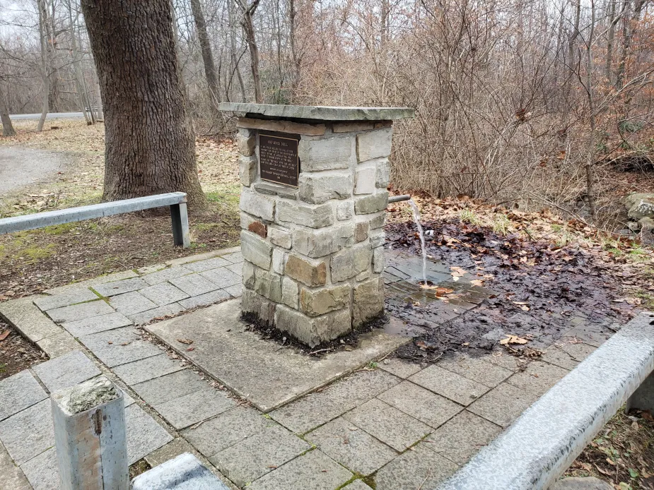
Springs are a natural source of fresh, cold, flowing water that people have used for centuries. People assume that spring water is safe to drink because it looks clean. But there may be invisible microbes and bacteria lurking in the water.
Our testing limits follow PA DEP's guidelines for drinking water. (Note: PA DEP DOES NOT recommend drinking any surface water.)
Water quality is always changing, and our testing is just a snapshot. Please use caution and purify any surface water before drinking.
If you have any questions, please email Chantelle@mtwatershed.com or call 724-455-4200 ext. #1
Quarterly Roadside Springs Report
Click on any of the springs below to see details and past results!
![]() = Parameters tested meet standards |
= Parameters tested meet standards |  = Parameters tested DO NOT meet standards
*Even if parameters tested were within limits PLEASE USE CAUTION if deciding to drink from these sources
Results as of 02/02/2026
Summit Spring: ![]() Trace Amount of E.coli present in sample
Trace Amount of E.coli present in sample
Ore Mines Drill: ![]() Trace Amount of E.coli present in sample ***Lead previously Detected in sample; USE CAUTION
Trace Amount of E.coli present in sample ***Lead previously Detected in sample; USE CAUTION
Blue Hole: ![]() All parameters tested were in limits
All parameters tested were in limits
Beck Springs: ![]() Trace Amount of E.coli present in sample
Trace Amount of E.coli present in sample
We NO longer sample these springs:
- Washington's Spring: (now on private property)
- Pressley Ridge/Lytle Road: (now on private property)
- Red Dog Road (consistently high E. Coli levels)
- Neals Run (now on private property)
- Bando Road (consistently high E. Coli levels, high iron, manganese )