About
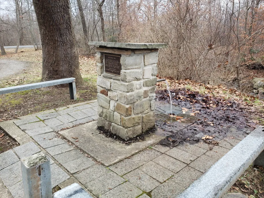
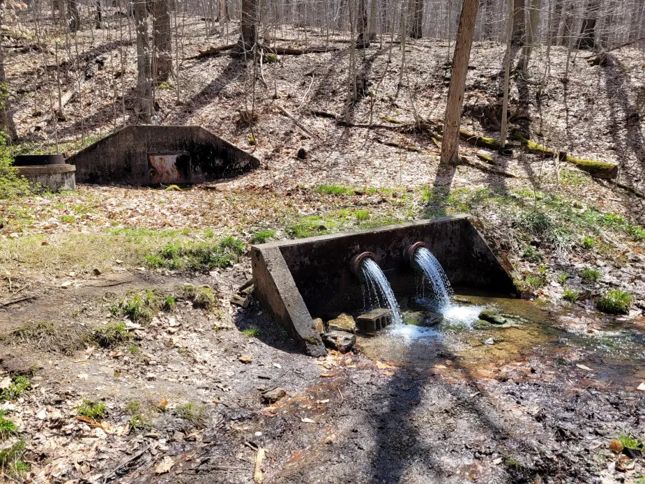
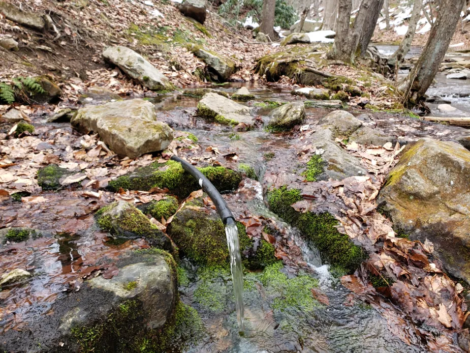
Springs are a natural source of fresh, cold, flowing water that have undoubtedly attracted humans to them for millennia. Entire communities have been formed around springs, and many homes built before the 20th century were purposely built near springs.
MWA takes samples at various publicly accessible springs in and around the Youghiogheny River watershed each quarter to assess if they are up to drinking water standards. We follow the PA DEP's Maximum Containment Level (MCL) guidelines. These springs are often assumed to be potable (safe to drink) by the communities around them, but most, if not all, have no easily accessible record of their water quality to make that decision.
Please read the results and descriptions of the parameters before deciding to drink. Keep in mind that our testing shows a snapshot of water conditions on the day we took the samples. We test for common water containments, however there is potential for other constituents or microbes, that we don't test for, to be present in surface waters. Water quality is constantly changing, so use your best judgement!
(Note: PA DEP DOES NOT recommend drinking any surface water.)
Additional Resource: PENNSTATE DRINKING WATER TESTING
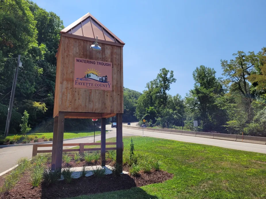
We will continue to update this page as we do quarterly water sampling at these Roadside Spring locations. If you have any questions, please email Chantelle@mtwatershed.com or call 724-455-4200 ext. #1
Quarterly Roadside Springs Report
Click on any of the springs below to see details and past results!
![]() = Parameters tested meet MCL Standards |
= Parameters tested meet MCL Standards |  = Parameters tested DO NOT meet MCL Standards
*Even if Parameters Tested were within Limits PLEASE USE CAUTION if deciding to drink from these sources
Results as of 02/02/2026
Summit Spring: ![]() All Tested Parameters were within Limits
All Tested Parameters were within Limits
Ore Mines Drill: ![]() All Tested Parameters were within Limits ***HOWEVER on 10/26/2025 Trace amount of Lead Present, High Iron USE CAUTION
All Tested Parameters were within Limits ***HOWEVER on 10/26/2025 Trace amount of Lead Present, High Iron USE CAUTION
Blue Hole: ![]() E.coli Present in Sample LAST TESTED 10/06/2025 ***Weather limited recent testing
E.coli Present in Sample LAST TESTED 10/06/2025 ***Weather limited recent testing
Beck Springs: ![]() All Tested Parameters were within Limits LAST TESTED 10/06/2025 ***Weather limited recent testing
All Tested Parameters were within Limits LAST TESTED 10/06/2025 ***Weather limited recent testing
We NO longer sample these springs:
- Washington's Spring: (now on private property)
- Pressley Ridge/Lytel Road: (now on private property)
- Red Dog Road (consistently high E. Coli levels)
- Neals Run (now on private property)
- Bando Road (consistently high E. Coli levels, high iron, maganese )