Project Overview – Rustic Ridge II Mine
On August 20, 2025 at 6:00pm PA Department of Environmental Protection will hosted an informal public conference on the Rustic Ridge II Coal Mine proposed in Mt. Pleasant and Donegal Townships at Saint Raymond of the Mountains church in Donegal, PA.
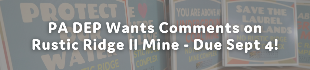
If you could not attend the DEP IPC on Rustic Ridge II Coal Mine, you may submit comments to DEP until September 4, 2025. Comments can be sent via mail to: California District Mining Office, 25 Technology Drive, Coal Center, PA 15423 ℅ Lori Jenkins or via email to lorjenkins@pa.gov.
_____________________________________________________________________
Please review the following information for the proposed permit to support your comments and raise your awareness on the new proposed coal mine.
If you have any questions or would like support development your comments, please contact Stacey Magda at 724-455-4200 x9 or stacey@mtwatershed.com
_____________________________________________________________________
Surface Area Location:
Near the intersection of Keyser Road and Clay Pike Road in Mount Pleasant and Donegal Townships, Westmoreland County, PA.
Project Size and Scope:
● Underground Mining: Approximately 2,322.6 acres.
● Surface Activities: Approximately 64.6 acres will be disturbed, potentially affecting local land and ecosystems.
Operations Schedule:
● Mining operations: will occur up to 16 hours per day, approximately 312 days per year.
● Duration: Mining is planned to last about 14 years.
● Coal Production: Anticipated production is roughly 850,000 tons annually. Surface Water Discharge:
● The mine would be allowed to discharge up to 2.8 million gallons of treated mine water every day.
Streams & Wetlands:
● Permanent impacts from the 64-acre surface facility include: burying or rerouting 1,774 feet of small streams and filling 0.57 acres of wetlands.
○ The company plans to buy “mitigation credits” off-site, will not remediate wetlands on the property.
Water Supply Impacts:
● There are 116 individual water supplies within 1,000 feet of the permit area.
● The company acknowledges that wells and springs in upland areas “could experience temporary declines in static water levels and/or reduced flow.”
● The company has not clarified how long these “temporary” impacts might last.
Truck Traffic:
● Approximately 248 individual truck trips daily on Clay Pike Road (124 loaded departures, 124 empty arrivals).
● More than 500 internal truck trips each day, shuttling coal and rock between processing buildings and stockpiles.
Air Quality:
● Estimated annual particulate emissions include approximately 51 tons of coarse dust (PM-30) and 13 tons of fine particulate matter (PM-10), potentially impacting air quality and health.
Blasting Activity Planned
Purpose of Blasting:
Blasting will initially take place to construct the 64-acre surface facility. Explosives Used:
● A combination of blasting agents and high explosives.
● Up to 30,000 pounds of explosives may be used per blast.
● Explosives will be detonated in a series of short delays, with no more than 700 pounds detonated at one time.
What Residents Can Expect:
Warning Signals:
● Pre-blast Warning: Three loud horn blasts, each lasting 5 seconds, sounding 1–2 minutes before detonation.
● All-Clear Signal: One longer horn blast lasting 10 seconds, indicating the area is safe again.
● Signals will be clearly audible from at least 1,000 feet away.
Community Notifications and Rights:
● Residents within half a mile of blasting areas will receive a yearly blasting schedule.
● Residents within half a mile are entitled to request a free pre-blast survey of their property, documenting the current condition of homes, wells, and buildings. This survey helps protect residents in case of any blasting-related property damage.
As always, if you have any questions or would like support sending a comment please reach out to Stacey@mtwatershed.com / 724-455-4200 x 9