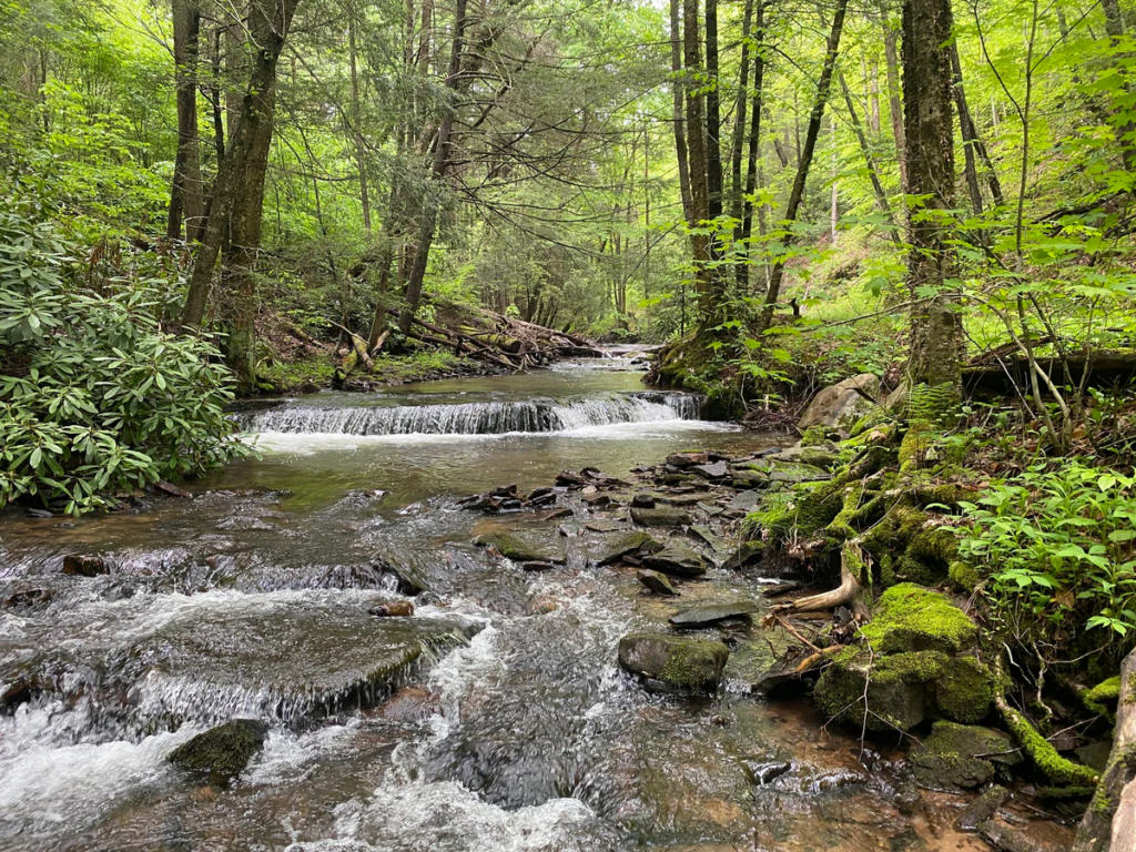
MWA and Purple Lizard Maps has collaborated on a new map of the Deep Creek Lake and Western Maryland area! This map will offer insight on the headwaters area of the Youghiogheny River watershed, which is famous for whitewater recreation, camping and hiking, rare native plants and animals, and scenic beauty.
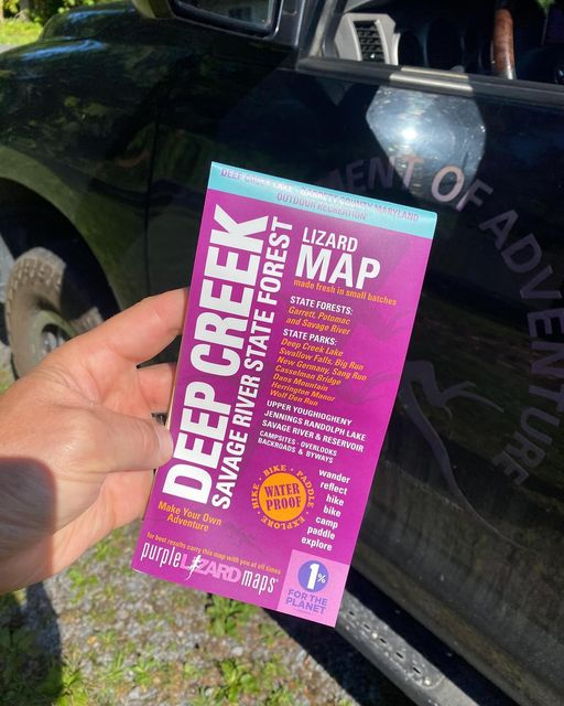
The all new Lizard Deep Creek Savage Map covers the stunning landscapes of Garrett County and Deep Creek Lake along with the Garrett, Potomac and Savage River State Forests, offering a diverse network of trails, campsites, and scenic spots throughout this truly special area. You’ll find mountain bike trails, hiking trails, ski trails and OHV trails throughout the county. It also has some of the very best whitewater boating access on the east coast. This waterproof, easy-to-read map is perfect for any outdoor recreation enthusiast.
MWA provided insight into the unique features of the Upper Yough, where our Youghiogheny Riverkeeper has guided rafts, kayaked, and paddled his Shredder with friends and family. Throughout the map, you’ll also find interesting tidbits about the ecology of the area, and information about MWA’s work throughout the watershed. And don’t miss out on lizard hunting! The little purple lizards scattered on the map signify an interesting spot to check out — anything from great views, local legends, or cool places to see!
Pre-order your new Lizard Map today, and get ready for new adventures to come!