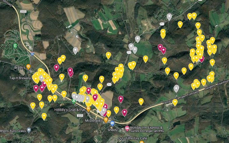
Over the last several months, Mountain Watershed Association’s advocacy team has traveled door-to-door (through wind, rain, sun, and snow!) to properties within the 1700-acre proposed expansion and buffer area of the Rustic Ridge Deep Mine.
We talked with and distributed information to almost 150 property owners and businesses, providing a unique opportunity for residents to review LCT Energy’s background survey that catalogs the structures and private water sources located within the mining boundary and buffer area.
(Approximately 20 homes had “No Trespassing” signs or dogs outside, so information was not left at those properties. If you believe your home may have been missed, please see the end of this post for next steps.)
By talking to property owners, we identified 50 properties with missing or incorrect structure and water supply information. We also identified 27 properties with errors in their information through visual assessments of the property. After reviewing permit materials submitted by the mining company, we found 27 additional inconsistencies for structure and water supply information in the company’s own materials.
As a result of this outreach, MWA submitted six comment letters to the DEP indicating the errors. As a result, two deficiency letters have been issued to LCT. These letters ask the mining company to make the corrections that will ensure accuracy of properties that may be undermined or within the proposed areas.
In conversations with MWA staff, the community expressed overwhelming concern regarding private water supplies, such as springs and wells. There are limited options for public water in the area, and water line extensions from current infrastructure could take years. This raises concerns about private water supply availability if there are impacts during and post-mining.
People also mentioned concerns about property value, environmental impacts, health impacts from coal dust and truck traffic, road safety, and property subsidence (considering that five homes have already been impacted by the current mine). Further, folks expressed surprise that a mine could be proposed in the Laurel Highlands region, a place with valuable waterways and ecological importance.
It’s clear that many property owners are vulnerable and concerned. Regardless of a property owner’s opinion on mining or their level of concern, it is critical to ensure that everyone’s property assets are accurately listed on the Water and Structure Inventory for the Rustic Ridge Expansion area.
If any part of your property is above the proposed expansion barrier, it should be listed in the provided spreadsheets. If you live beyond the boundary, you may still be entitled to inclusion. If your property is near but not within the boundary, contact MWA and we will help you determine whether you’re entitled to inclusion.
If you believe your home may have been missed during our outreach, please visit https://bit.ly/InventoryBlog for both in-person and online methods to check the information associated with your property in the inventory.